Beschreibung
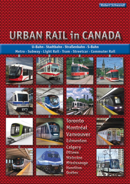
Vancouver, Calgary, Edmonton, Waterloo/Kitchener, Hamilton, Mississauga, Toronto, Ottawa, Montréal, Québec.
Bereits seit einigen Jahrzehnten erlebt Kanada einen regelrechten Boom, was den Ausbau der städtischen Schienenverkehrsmittel angeht. Während in Toronto ein großes Straßenbahnnetz der ersten Generation überlebt hat und bereits seit den 1950er Jahren mit einer modernen U-Bahn koexistiert, folgten die anderen kanadischen Großstädte später, sei es mit einer gummibereiften Métro in Montréal 1966, den Stadtbahnen in Edmonton (1978) und Calgary (1981) oder dem fahrerlosen SkyTrain in Vancouver (1986). All diese Netze wurden nach und nach erweitert, aber es kamen in den letzten Jahren auch noch neue städtische Bahnen hinzu, wobei die Klassifizierung nicht immer eindeutig ist, da es sich oft um Mischformen zwischen Straßenbahn und U-Bahn handelt. In diesem Buch wird jedes Verkehrsmittel einzeln vorgestellt, wie mmer illustriert mit zahlreichen Farbfotos und detallierten Netzplänen.
For many decades, Canada has been experiencing a real boom in the expansion of its urban rail transport. While in Toronto a large first-generation streetcar network has survived, coexisting with the modern subway since the 1950s, the other major Canadian cities followed later, be it with the rubber-tyred Métro in Montréal in 1966, the light rail systems in Edmonton (1978) and Calgary (1981) or the driverless SkyTrain in Vancouver (1986). Not only have these networks been gradually expanded, but new urban rail systems have also emerged in recent years, although their classification is not always easy, as they are often hybrids between tram and metro. In this book, each transport system is presented separately – and as always, illustrated with numerous colour photos and detailed network maps.
Passend zum Thema
GeraMond 2015, 192 Seiten, ca. 180 Abbildungen, Hochformat 26,8 x 28,9 cm,...
EUR 29,99
Metros & Trams in Japan Teil 3 West- & Südjapan. Andrew Phipps & Robert Schwandl
Robert Schwandl Verlag 2018, 160 Seiten, ca. 300 Fotos, zahlreiche...
EUR 19,50
Metros & Trams in Japan Teil 1. Tokyo Region
Robert Schwandl Verlag 2016, 160 Seiten, ca. 300 Fotos, zahlreiche...
EUR 19,50
Metros & Trams in Japan Teil 2 Nord- & Zentraljapan. Andrew Phipps & Robert Schwandl
Robert Schwandl Verlag 2017, 160 Seiten, ca. 300 Fotos, zahlreiche...
EUR 19,50
Robert Schwandl Verlag 2014, 160 Seiten, ca. 300 Fotos, zahlreiche...
EUR 19,50
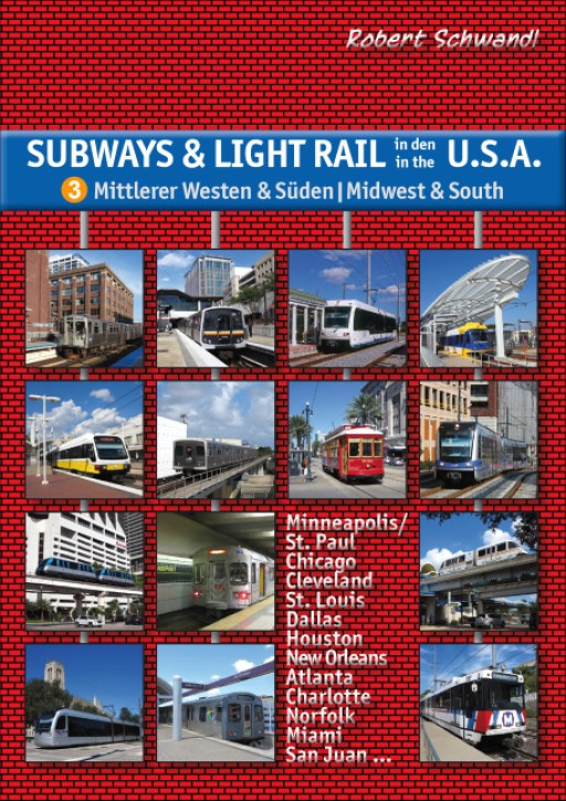
Subways & Light Rail in den USA 2 Westen / Vol 2 - The West. Robert Schwandl
Robert Schwandl Verlag 2012, 160 Seiten, ca. 300 Fotos, zahlreiche...
EUR 19,50
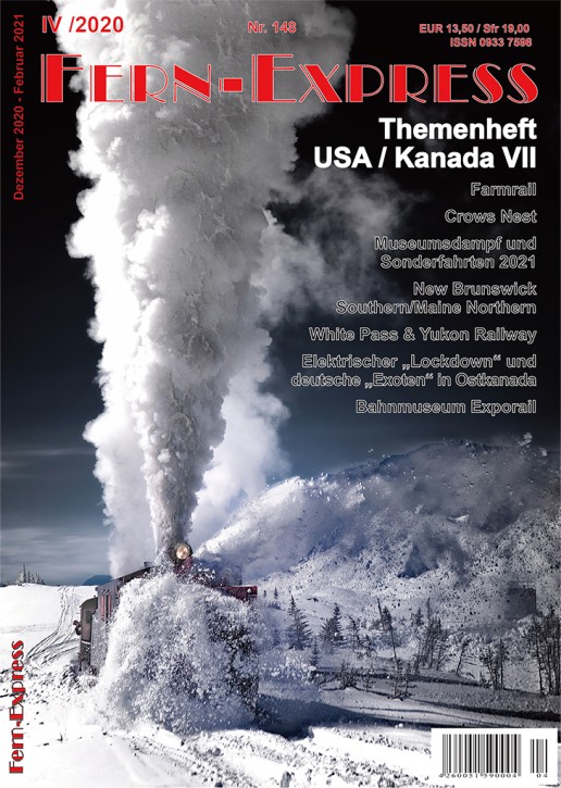
Fern-Express Themenheft USA Kanada VII (4/2020)
Fern-Express 2020, 52 Seiten, zahlreiche Farbfotos, A4-Heftformat, Klammerbindung.
EUR 13,50
Kunden kauften auch
London Underground Album Vol. 2 Tube Lines. Andrew Phipps
Robert Schwandl Verlag 2024, 160 Seiten, ca. 450 Farbfotos, Texte in Deutsch &...
EUR 21,50
Die Borkumer Kleinbahn - Die Geschichte von 1888 bis heute. Manfred Diekenbrock & Daniel Michalsky
Sutton Verlag 2024, 122 Seiten, ca. 160 Abbildungen, Hochformat 17 x 24 cm,...
EUR 24,99
Sutton Verlag 2024, 122 Seiten, ca. 120 Abbildungen, Hochformat 17 x 24 cm,...
EUR 24,99
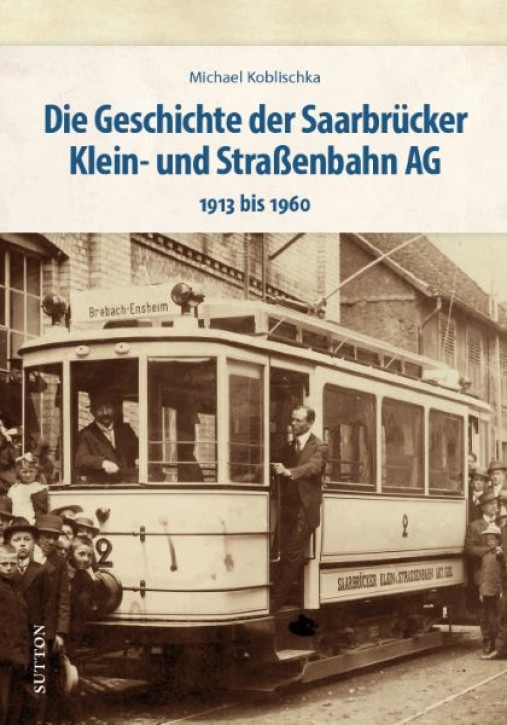
Die Geschichte der Saarbrücker Klein- und Straßenbahn AG 1913 bis 1960. Michael Koblischka
Sutton Verlag, ca. 128 Seiten, ca. 160 Abbildungen, Hochformat 17 x 24 cm,...
EUR 24,99
Robert Schwandl Verlag 2025, 128 Seiten, ca. 150 Farbfotos, Netzpläne,...
EUR 21,50
Robert Schwandl Verlag 2023, 160 Seiten, Netzpläne, ca. 300 Farbfotos,...
EUR 24,50
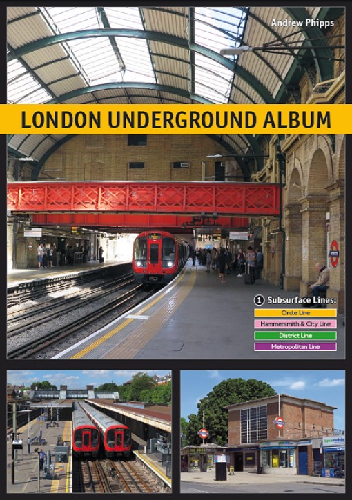
London Underground Album Vol 1 Subsurface Lines. Andrew Phipps
Robert Schwandl Verlag 2022, 160 Seiten, ca. 450 Farbfotos, Softcover, Texte in...
EUR 19,50
SSB Medien 2023, 256 Seiten, ca. 650 Fotos (davon ca. 300 in Farbe), Querformat...
EUR 54,00

